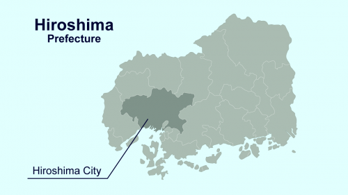
Basic Information about Hiroshima Prefecture
Home > For Visitors to Hiroshima Prefecture > Basic Information about Hiroshima Prefecture
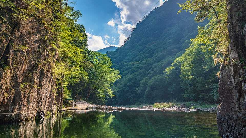
In comparison to most areas of Japan, Hiroshima Prefecture is more mountainous.
In the northern part of the Prefecture, there is the Chugoku Range, which consists of mountains with an altitude of 1,000 meters or more. In a vast area surrounded by gently sloping mountains, visitors can enjoy valleys with clear streams, as well as fresh greenery in spring and beautiful autumn leaves in fall.
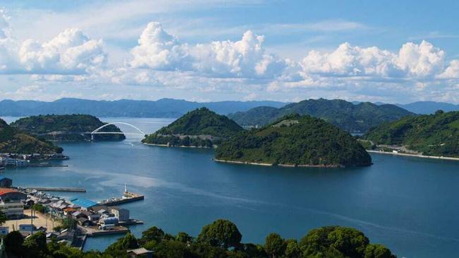
The southern part of the Prefecture faces the Seto Inland Sea, with a panoramic view of countless large and small islands.
Transportation and Access to Hiroshima Prefecture
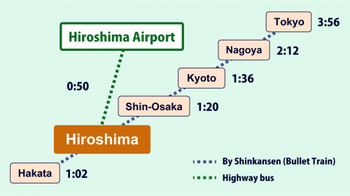
Access from inside Japan
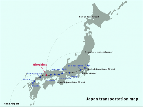
By Shinkansen (Bullet Train)
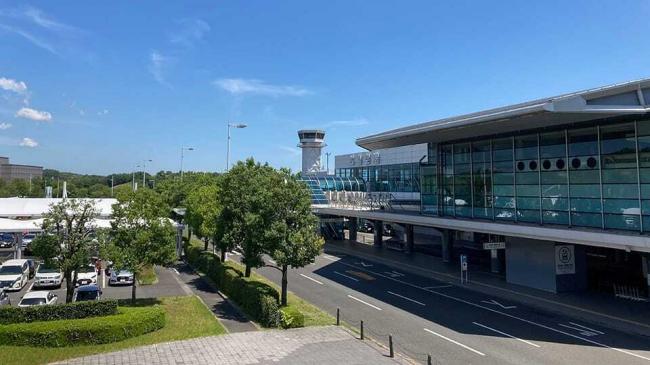
By air
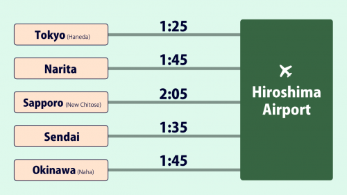
[Required time]
- Narita [1 hr 45 min]
- Haneda [1 hr 30 min]
- Sapporo [2 hrs]
- Sendai [1 hr 40 min]
- Okinawa [1 hr 50 min]
Climate of Hiroshima Prefecture
Receiving relatively little rainfall, the coastal region has many sunny days throughout the year. The northern mountainous region receives a lot of rainfall. Its winters are cold and snowy. Although the City of Hiroshima is located on the coast and is relatively warm, it receives slightly higher rainfall than the rest of the coastal region.
Populations and Areas of Hiroshima Prefecture and City
| Hiroshima | Hiroshima City | |
|---|---|---|
| Popula | 2,762,803 people | 1,192,299 people |
|
Area |
8479.22 ㎢ | 906.69 ㎢ |
*Population as of August 1, 2022, area as of April 2022
* Source of area: Geospatial Information Authority of Japan website
* Click here for details of statistical information.
・Hiroshima Prefecture(japanese)
・City of Hiroshima(External link)